How to Read Blue Lines for Rivers, Streams and Ditches
Learn how to read blue lines on a map, distinguish rivers from drains and seasonal channels, and check what a symbol can—and cannot—tell you.
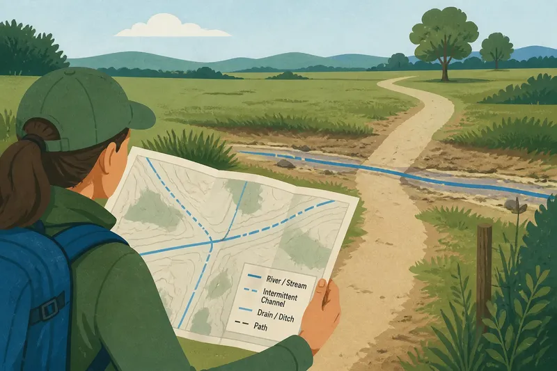
You are following a footpath on a map when a blue line crosses it, but the ground ahead looks dry. Reading blue lines on a map means working out what the symbol represents—not assuming it is a live report of water.
Map symbols compress a complicated place into marks that fit on a screen or page. The legend, the map’s purpose and any labels help explain the mark; they cannot tell you by themselves whether water is flowing at this moment.
What does a blue line on a map mean?
A blue line usually represents a mapped water feature, such as a river, stream, drain or ditch. Its appearance depends on the mapmaker’s conventions: a solid line may have a different meaning from a broken one, and colours can vary between maps.
Start with the legend rather than relying on colour alone. It may distinguish named rivers from smaller channels or mark a watercourse that flows only sometimes. If the legend is silent, treat the line as a location clue, not a statement about the channel’s behaviour.
Scale matters too. A map designed to show a whole region may omit small channels, while a more detailed local map may show ditches or drains. A feature left off one map may still be present on the land.
How can you tell a river from a stream or ditch?
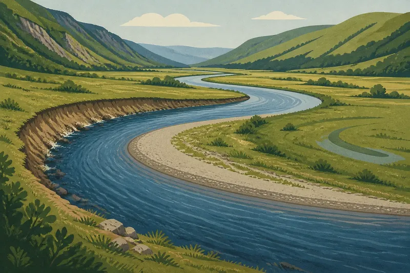
River and stream are everyday terms for flowing watercourses. People often use “river” for a larger channel and “stream” for a smaller one, but there is no single size rule that every map or community follows.
A ditch is commonly a channel made or maintained to move water. A drain may refer to a channel or other feature that carries excess water away. Human changes can alter a natural watercourse, so a map label does not always reveal how a channel began.
An intermittent or seasonal channel carries water at some times and little or none at others. It may respond to rainfall or seasonal conditions. Some maps mark this with a special line style; others do not explain the pattern.
Why might the map and the ground seem to disagree?
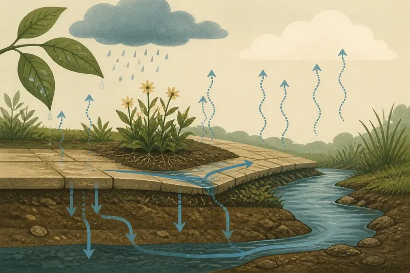
A mapped channel can be dry during settled weather and carry water after rain. Conversely, a stream may be hard to see because reeds cover it or a culvert carries it beneath a road.
Maps also simplify bends, crossings and small features to fit their scale. Think of a blue line as a pencil mark showing where a route goes: useful for orientation, but not a description of what is happening there right now.
Different maps may use different source material, names or levels of detail. One may call a channel by a local name; another may label it as a drain or leave it unnamed. Those differences are a reason to check the legend and context, not proof that one map is necessarily wrong.
What should you check before interpreting a blue line?
- Legend: If it identifies the line as a river or stream, use that map’s term; if it marks a drain, ditch or intermittent channel, describe it that way instead.
- Line style: If the legend assigns a meaning to a broken or solid line, follow that convention; if it does not, avoid inferring whether the channel flows regularly.
- Map scale: If a detailed local map shows a small channel absent from a regional map, use the detailed map for that feature; if the maps disagree, treat its exact course as uncertain.
- Map date and purpose: If the map is intended for general orientation, use it to locate the feature; if you need current conditions, consult an appropriate current local source.
- Labels and nearby features: If the channel has a name or a marked culvert, include that detail in your description; if there is no label, call it a mapped channel rather than guessing its origin.
- Recent weather and season: If rain or a dry spell may affect the channel, do not infer present flow from the symbol; if water conditions matter to your plans, seek current local information.
These checks help separate what the map depicts from what remains unknown. For questions about access or changing local conditions, use the relevant current local information rather than relying on a map symbol alone.
What do people ask about blue lines on maps?
Does a blue line mean water flows all year?
No. A line can mark a seasonal or intermittent channel, and map conventions differ. Check the legend for a flow-related symbol or label before describing it as permanent.
Can a stream be missing from a map?
Yes. Small channels may be omitted at a map’s scale or absent from its source data. A missing line does not establish that there is no watercourse on the ground.
Is a ditch the same as a stream?
Not necessarily: a ditch is commonly made or maintained to carry water, while a stream is generally understood as a watercourse. Altered channels can blur the distinction, so a map label may not tell you the feature’s full history.
Why do two maps name the same channel differently?
Maps can draw on different naming practices and levels of detail. One may use a local name, while another describes the feature by type or does not name it.
How should you describe what the map shows?
Keep the map’s claim separate from direct observation. “The map shows a channel crossing the path” reports the symbol; “water is flowing across the path” reports a condition you have actually seen.
Say you are planning a walk and a detailed map shows a broken blue line beside a field. Its legend identifies broken lines as intermittent channels, and a broader map leaves the feature out. You can describe it as a mapped intermittent channel, while noting that the broader map does not show it; neither map tells you whether water is present on the day.
For a clear description, name the feature only as specifically as the map supports. “Mapped stream” or “labelled drain” communicates what the source says, while “water flowing now” should be reserved for a condition you have confirmed.